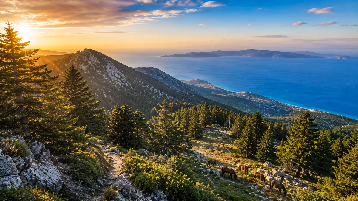
Kefalonia's Sacred Mountain
Mount Ainos rises to 1,628 metres above the centre of Kefalonia, making it the highest peak in the Ionian Islands and the spine of the island's National Park. The mountain has been considered sacred since ancient times — a temple to Zeus once stood near its summit — and even today it carries an air of quiet grandeur that distinguishes it from the busier parts of the island below.
The National Park covers approximately 2,860 hectares and is managed primarily for the conservation of the Kefalonian fir (Abies cephalonica), a tree species endemic to southern Greece. Walking through the fir forest, which carpets the upper slopes between 600 and 1,500 metres, is one of the defining experiences of a visit to Kefalonia — the filtered light through the canopy, the silence, the carpet of needles underfoot, the smell of resin in the heat.
The Wild Horses
One of the mountain's great surprises for first-time visitors is the presence of wild horses — a small population of the ancient Pony of Pindos breed that roams the upper slopes freely. Semi-feral descendants of horses released on the mountain generations ago, they graze in small groups and are sometimes encountered at close range near the main trail. They are wild animals: observe from a respectful distance and do not attempt to feed or approach them.
Trails and Routes
The main approach is from the radio tower at around 1,000 metres elevation, reached via a paved road branching off the Argostoli–Sami highway. From the car park near the tower, marked trails lead up through the fir forest to the summit area — approximately 2 hours one-way for the standard route.
A longer approach from Ag. Dinati (1,131m), at the southern end of the massif, suits more experienced hikers. The Kefalonia Geopark website provides detailed trail descriptions and GPS tracks for all routes on the mountain.
Views from the Summit
On a clear day, the panorama from the summit extends to Zakynthos, Ithaca, Lefkada, the mainland of Greece and — in exceptional visibility — the peaks of the Peloponnese. The terrain above the treeline is rocky and open, with wildflowers in spring and early summer.
Practical Information
- Best months: April–June and September–October; July–August can be very hot below the treeline
- Start early: Begin no later than 8am in summer to avoid the heat
- What to bring: Minimum 2 litres of water, solid footwear (trail runners or boots), extra layers (temperature drops significantly above 1,200m), sunscreen and hat
- Getting there: Follow signs for Ainos National Park from the main Argostoli–Sami road; a car is essential
- Duration: 3–5 hours round trip from the radio tower car park, depending on route
Planning your trip to Kefalonia? Ask Memas — our AI island guide →